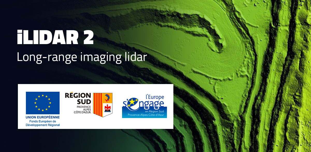
Nexvision has just taken a major strategic step forward in the field of optronics and embedded vision. The company has secured funding from the European ERDF program to develop the iLIDAR 2 project, which aims to design a long-range imaging lidar that is both high-resolution and field-operational.
From research project to practical application
Nexvision had already achieved initial success with iLIDAR 1, an ERDF project focused on fundamental research and the validation of innovative technological concepts. This first phase demonstrated the scientific and technical feasibility of an imaging lidar based on hybrid approaches.
With iLIDAR 2, the focus is no longer just on research, but on development. The objective is clear: to move from a TRL 4 level of technological maturity to a functional TRL 6/7 prototype capable of being tested in real-world conditions. In other words, to transform a scientific promise into a concrete tool, ready to meet the strategic needs of tomorrow.
A new generation imaging lidar
The iLIDAR 2 system stands out thanks to several key features:
- A range of over 1 km for long-distance surveillance.
- High angular resolution with an iFoV < 0.1°, guaranteeing unprecedented analysis and detection precision.
- A hybrid architecture combining Flash & Scanning lidar, enabling both rapid global capture and precise scanning of the scene.
- Use of the 1550 nm SWIR band, enhancing eye safety, improving atmospheric propagation, and optimizing performance in difficult conditions.
- The integration of an innovative laser frequency conversion technique to maximize power, efficiency, and signal quality.
These technological choices make iLIDAR 2 a unique system in Europe, capable of competing with the most advanced international solutions.
Multiple application prospects
Beyond its technological performance, iLIDAR 2 opens up a wide range of applications in key sectors:
- Maritime detection: identification of floating objects (boats, drones, cetaceans, debris) for maritime safety.
- Aeronautics: flight and taxiing assistance through enhanced perception in complex environments.
- Multi-domain situational awareness (air, land, sea): providing armed and security forces with augmented, real-time vision of their environment.
- 3D reconstructions for drones (aerial, terrestrial, surface): high-precision mapping and inspection for civil and military operations.
These use cases confirm the strategic importance of the project, both for security and defense and for industry and advanced mobility.
A building block of the eVSA ecosystem
The iLIDAR 2 lidar is not an isolated project: it is part of the eVSA (Embedded Vision based Situational Awareness) ecosystem developed by Nexvision. This suite of products is dedicated to situational awareness and already includes several innovative solutions for land, air, and sea vehicles.
By adding iLIDAR 2 to this ecosystem, Nexvision is strengthening its position as a key player in the supply of disruptive embedded vision systems capable of combining optronics, image processing, and artificial intelligence.
A project promoting European sovereignty
Thanks to ERDF support, Nexvision has a decisive lever to bring this technology to maturity and contribute to European technological independence. In a context where surveillance, detection, and control of the information space have become strategic issues, iLIDAR 2 perfectly illustrates the innovative capacity of the French optronics sector.
With this new project, Nexvision confirms its ambition: to transform scientific advances into concrete solutions that enhance operational performance and sovereignty.